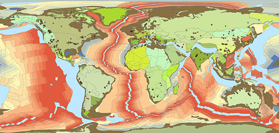
PaleoGIS Suite
Power to Visualize, Understand and Predict
Rothwell’s Paleo products form a robust suite of first-pass plate tectonics reconstruction and climate modeling tools that enable exploration geologists and GIS professionals to dynamically visualize, characterize and understand basin and play development.
In an ever-accelerating global race to discover hydrocarbon and mineral analogues and evaluate new lease tracks, plate tectonics and paleoclimate analysis provide essential insight into the evolution of organic deposits and source rock formation over time, which has become an important component of the exploration industry’s screening workflow.

Coupled with other critical Earth and carbonate process information, paleo plate tectonics and climatology deliver valuable business intelligence that improves the accuracy of depository analysis, empowering explorers to make decisions faster, with less risk and lower field appraisal costs.
Today, the majority of global and emerging exploration and production companies leverage these tools as part of their exploration analysis workflow. Learn more at PaleoGIS.com
